
Grey-crowned rosy finch
pecking at scattered snowflakes,
first taste of winter.
Grey-crowned rosy finch
pecking at scattered snowflakes,
first taste of winter.
The summer sun pulls me outside in the early morning. My bare feet curl long strands of grass between my toes. It is the kind of morning that makes you want to lie down on that soft cushion of green and spend the day watching the clouds shape-shift in the sky. But the solid blue above is empty of possibility. The sun beats down and soon sends me inside sweating.

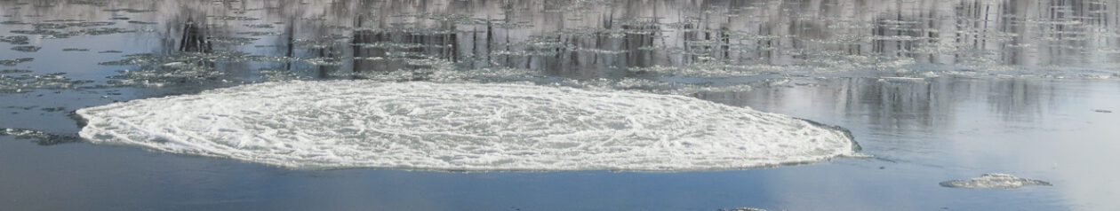
Relentless sky blue,
sungold, and verdant green mix,
make burnt sienna
Clear blue sky day after day. Banks of mud encrusted rocks rise from the shore. The heron moves closer to the middle of the river. I move to the center of the trail, my bare legs scratched by dry grasses. The breeze begins to stir as the sun moves past the zenith of the sky. Hot breath of air buffets my sun reddened shoulders. By afternoon, no rain, only wild gusts of wind to cool the land.
 Catface on a pine.
victorious over fire,
beheaded by wind.

With the wind comes clouds. Clouds heavy with rain, drop only lightening bolts. Sonic booms of thunder rattle the peace of evening, shaking the dessicated landscape. The next morning, I am again pulled outside as thunder gives way to the growl of low-flying planes. I scan the mountainsides, looking for thin tendrils of smoke. Another blue sky day.

Burning memories
held by hills, skeleton trees
watch the sky for rain.
The phone rings. Our hike to Bear Mountain has been cancelled. A fire has erupted and the lookout is evacuated by helicopter. The clear blue skies of are now filled with silver and red slurry bombers. The evening news shows maps speckled in red flames across the west. But an empty halo encircles Missoula.

Their bounty withheld,
oblivious to the drought,
evening rain clouds flame.
A month of relentless sunny forecasts. Still, the blue skies fade into a dirty brownish grey. Smoke rides the jet stream where storms used to blow in, from Idaho and Washington. I no longer am pulled outside as the heat withers every living thing and the smoke clouds the breath.

Once in late August
fire turns Montana black,
and the blue moon orange.
The grey shrouded afternoon quiet is shattered by the sound of the phone. A friend across the valley asks about the smoke plume. I look to the hillsides, but nothing. Then the distant rumble of sirens. It is not just the smoke that has made me hold my breath these last weeks. I walk to the bridge and look north down the river.

Clouds rise from mountain
to sky, river rises in
buckets to mountain.

An army of a hundred men in yellow nomex wield polaskis. Back breaking fire lines are built. Tankers bomb the hillsides rusty red. Luck does her part, calming the winds. The fire is surrounded. The teams go in for the final kill of any living coals. Then the green trucks come and whisk the firefighters away to new battle lines.

Forty two days dry,
droughts worsen, a record breaks,
but not the weather.
At last the sky is grey, the deep grey of heavy rain clouds, not the veil of dirty smoke over blue. The first drops falling from the sky smell like campfires. The ground seems to smolder as the drizzle hits the dust, sending up small wiffs. Two weeks of spattered rain storms and it’s over. Golden leaves are the only flames on the hillsides and the first snow extinguishes the season.


In their sudden flight,
tree is but a pale shadow
in leave’s memory.
 When I was a child, hiking with my parents, we would stop every once in awhile and sit on a rock or downed log at the side of the trail. My father would ask me where in the world I thought I was. Unfolding the bulky topographic map and looking to the hillsides, I tried to match their slopes to the squiggly brown waves of lines on the map.
I thought about that on our recent hike to Cliff Lake. I had borrowed my husband’s GPS and used it to mark waypoints and plot out our route. I knew exactly where I was at every step–at least within a few dozen feet. Aided by 7 satellites, my progress was recorded on the little screen that told me my direction, my altitude, the distance to the lake, the distance we had come and what my hiking pace was. It even told me how long it would be until the sun set. The one thing it didn’t inform me of was the giant mud puddle in the trail, which I walked right into, my eyes affixed to the little screen.
That managed to break the GPS’ spell. I thought back to those pre-GPS times when you had to look around you instead. Gene shared the trick of using your analog watch (yes, we old timers still wear watches with hands) to tell where south is. Holding up your wrist and aligning the small hand with the sun, you could find south halfway between the hour hand and the minute hand. A map could give us good idea of altitude, but knowing that we were walking through a forest of subalpine fir gives us a rough approximation and finding treeline on the hillsides around the lake told us we were nearly 6,000 feet high.
Those watches came in handy again, by telling us how long it had been since we left the trailhead. Years of hiking means we know we have a pace of about 20 minute miles–longer if we are going up steep paths or taking pictures or stopping to discuss the identity of wildflowers. Shorter if we are a long ways from the trailhead in the late afternoon and we’re hungry or going downhill. And having the map in our memory will tell us at what part of the trail the creeks must be crossed. Simply listening for water will tell us how close we are to that crossing.
As for the sunset, my father taught me how to tell when it would slip behind the peaks and the air would chill. Holding your hand out at arms length, the fingers horizontal, you place your pointer finger parallel to the ridge line and count the number of fingers between that and the bottom of the sun. Each finger equals 15 minutes.
I think, when my father asked me where in the world I was, he was not asking for the co-ordinates of my position on the map, he was asking me how deeply conscious I was of the world around me. It is not a question that can be answered by a GPS.